

Marine Aggregate Dredging statistics
The Crown Estate and BMAPA have provided the following information graphing the area of the UK seabed licensed for aggregate dredging and showing the total area dredged from 2008 until 2012.
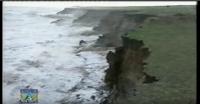
The overall take appears to be reducing, as has that taken from offshore Great Yarmouth, as it seems to be moving more now to the south coast and off Lincolnshire.
Included in the document are the destination ports for unloading. The document can be seen below: